Configuring Attributes
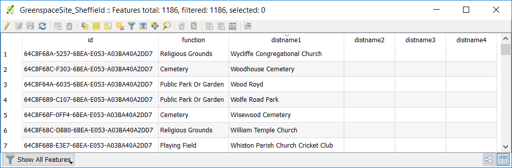
So now we have published a map of green spaces. If we take a look at the source dataset, we can see the dataset also contains some useful attribute data:
We’ll now configure Mappin to make use of this attribute data so that users can examine the name and type of green spaces. In a later chapter we’ll also use this attribute data to allow users to search for green spaces by name and type.
If you click on a green space feature in Mappin, you should see feature information appear:
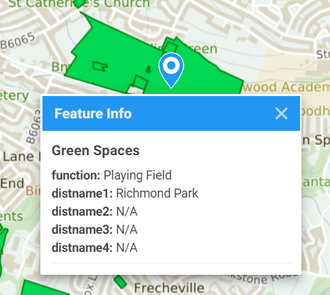
If you do not see any feature information appearing, ensure the layer’s Name (PostGIS), Data CRS and Queryable settings are set correctly. These settings should be set automatically when you loaded the layer if you had already included the sheffield schema in the list of schemata searched for tables in the Global Configuration tab.
Let’s now make the feature information for the green spaces layer more meaningful.
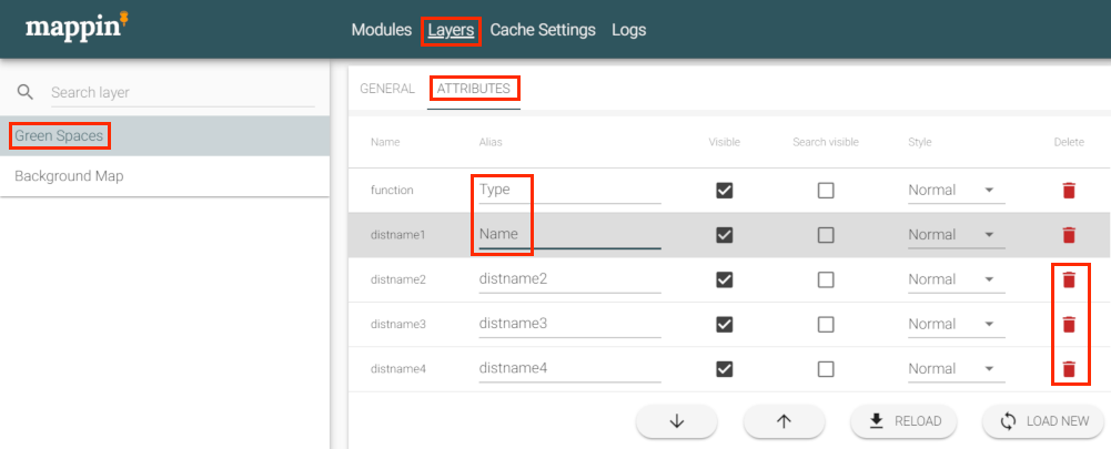
- In Mappin’s admin interface, go to the Green Spaces layer’s ATTRIBUTES settings
- Set the Alias for function and distname1 to Type and Name
- Delete attributes distname2 to distname4 (the column is not deleted in the source dataset)
- Click SAVE CHANGES
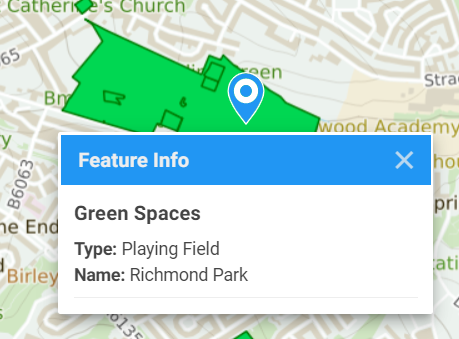
The layer’s feature information now looks much cleaner: